The Institute for Applied Photogrammetry and Geoinformatics (IAPG)
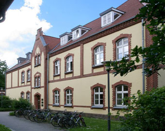
The Institute for Applied Photogrammetry and Geoinformatics (IAPG) is part of the Department of Geoinformation. Application-oriented education, research and development in photogrammetry, geoinformatics and related areas are its main fields of activity. The IAPG constitutes on successful accomplished projects and long-time contacts to cooperating universities, public authorities and companies.

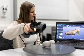
  • The photogrammetry and optical 3D metrology group focuses on acquisition, processing and visualization of 3D imaging systems.
  • The geovisualization and cartography team develops user-specific methods for visualizing complex spatial and temporal information.
  • The geoinformatics group is specialized in the management and processing of digital spatial and spatiotemporal data.
  • The economic and business GIS team analyses time-spatial structures and processes of economic activities.
  • The working group geodata analysis investigates complex, mostly spatially related questions based on data in order to support decision making and generate new knowledge from data.

News

Kripo

Der Mordfall Kezhia H. und der Beitrag des IAPG an dessen Aufklärung wird in einer 25-minütigen Sendung des MDR gezeigt, die in der ARD-Mediathek abrufbar ist.

Hirn

Von Kriminalfällen über Libellenvorkommen zu alten Seefahrtsrouten – Neue Folge des Audio-Podcasts mit Prof. Dr. Thomas Brinkhoff veröffentlicht.

Das

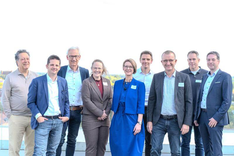
Prof. Dr. Thomas Luhmann ist am 4. Oktober 2024 in Köln mit dem GOLDENEN LOT ausgezeichnet worden. Der Verband Deutscher Vermessungsingenieure (VDV) würdigt mit dieser Auszeichnung einen außergewöhnlichen und herausragenden Wissenschaftler, Forscher und Hochschullehrer.

Innovationssprint:

IAPG und die GSG OLDENBURG haben sich erfolgreich um Mittel der Förderrichtlinie „DATIpilot“ des Bundesministeriums für Bildung und Forschung (BMBF) beworben. Das Projekt „Flächendeckende Abgrenzung von kleinräumigen Eignungsgebieten für die Wärmeplanung (FLAKE)“ wird im Rahmen der „Innovationssprints“ gefördert.

Baumerkennung

(Bild: ESRI, 2022) Im Rahmen des Fortbildungsseminares des BILDUNGSWERK VDV "KI in der Geodäsie und Geoinformation" präsentierte Mareike Fincken einen Ansatz zur Baumerkennung für flächendeckende Geothermie-Potentialanalysen. Der Ansatz wurde im Projekt Wärmewende Nordwest entwickelt. Im Seminar wurden Grundlagen zu Künstlicher Intelligenz vermittelt und danach verschiedene Anwendungsfälle präsentiert.