













Evaluation of Driving Data from Digital Tachographs

Beginn: 2023
Funding Zentraler Kriminaldienst Stendal
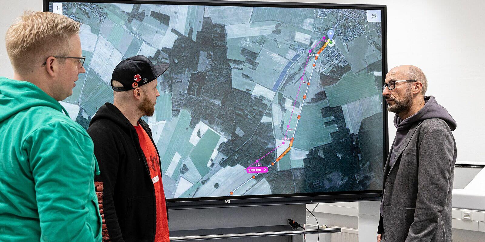
The objective of the project is to evaluate the driving data (time and speed) from a digital tachograph in order to determine the route driven by a vehicle. For this purpose, an application was developed that visualizes an interactively constructed route based on data available from the tachograph. Thus allows an immediate assessment of the route. In a missing-person case, the location of the corpse could be determined by using this approach. An automatic procedure is under developement.
People

Funding source

Zentraler Kriminaldienst Stendal

(photo: Jade HS/Andreas Rothaus)

Books and Papers

About privacy on smart tachographs: Reconstructing car-driven routes based on speed measurements

2023
In: Proceedings of the 1st ACM SIGSPATIAL International Workshop on Geo-Privacy and Data Utility for Smart Societies (GeoPrivacy '23). Association for Computing Machinery, New York, NY, USA, 14–19.

Presentations

Dem Mörder auf der Spur - Aufklärung eines Mordfalls mit Methoden der Geoinformatik (und der Geovisualisierung)

Juli 2026
DGfK-Kolloquium Berlin, Berliner Hochschule für Technik

Auswertung von Fahrdaten aus digitalen Tachographen zur Visualisierung von Fahrtstrecken, eine neue Dimension der Weg/Zeit-Berechnung

Mai 2024
Fachtagung Klassische Forensik: Innovationen für die Kriminaltechnik, GPEC Leipzig

About privacy on smart tachographs: Reconstructing car-driven routes based on speed measurements

November 2023
1st ACM SIGSPATIAL International Workshop on Geo-Privacy and Data Utility for Smart Societies (GeoPrivacy '23)

Dem Mörder auf der Spur - Wie mit Methoden der Geoinformatik der Leichnam des Opfers aufgespürt wurde

Oktober 2023
KonGeoS, Oldenburg

Auswertung von Fahrdaten aus digitalen Tachographen

September 2023
Digitale Spuren bei Tötungsdelikten, Polizeiakademie Niedersachsen, Hannover