Publications
Daten und Methoden harmonisieren
2026
stadt+werk 5/6 2026
GeoPriorPC: Nadir-view to 3D Point Cloud Reconstruction for buildings via Two-Stage Diffusion Priors
2026
Proceedings of the IEEE/CVF Conference on Computer Vision and Pattern Recognition (CVPR) Workshops
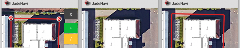
Real-Time Visualization of Cadastral Information from German Authorities Using Augmented Reality
2026
ISPRS Archives of the Photogrammetry, Remote Sensing and Spatial Information Sciences
CornerRegNet: Building Segmentation from Overhead Imagery Using Oriented Corners in Deep Networks
2024
Proceedings of the IEEE International Geoscience and Remote Sensing Symposium (IGARSS)
Enhancing Polygonal Building Segmentation via Oriented Corners
2024
Proceedings of the IEEE Conference on Computer Vision and Pattern Recognition (CVPR)
Awards
- ASPRS Esri Award for Best Scientific Paper in GIS (2020)
American Society for Photogrammetry and Remote Sensing (ASPRS)
- ISPRS Best Paper Award (2018)
International Society for Photogrammetry and Remote Sensing (ISPRS)
- AOLS Best Poster Award (2016)
Association of Ontario Land Surveyors (AOLS)
Projects
Funded by
Federal Ministry for Economic Affairs and Energy
The project Niedersächsischer Wärmeplaner (NIWaP) aims to examine the possibilities and limitations of harmonizing data and methodologies across the federal state of Lower Saxony, alongside the municipal heat planning processes already underway. Specifically, the NIWaP ...
more
Lectures
- Cartographic Information Processing
- Cartography
- Geospatial Basic Data
- Master's Project
- Project Visualization
- Seminar Cartography
- Web Engineering
Bachelor & Master Theses
Modellierung und Implementierung realistischer Lastszenarien zur automatisierten Performancebewertung von Geodaten-Webservices
2026/10
Entwicklung eines Fachzwillings zur agentenbasierten Modellierung von Evakuierungsszenarien in der Unreal Engine
2026/8
Digitale Trennung überlagerter historischer Karten
2026/3
Evaluierung geeigneter cloud-nativer Datenformate zur webbasierten 3D-Visualisierung von Bodenbewegungsdaten
2026/3
Integration von IoT-Sensordaten in eine Game Engine zur dynamischen 3D-Hochwassersimulation
2026/2